
LiDAR Terrain Modelling
On some project sites, development of the topographic terrain contours required for a building permit application can be accomplished using LiDAR data. This can offer significant savings over ground survey methods. We have used LiDAR effectively on many of our clients' projects and have access to complete data for Suffolk County suitable for 2 foot contour topographic mapping. In areas that were affected by Super Storm Sandy, we have post Sandy data.
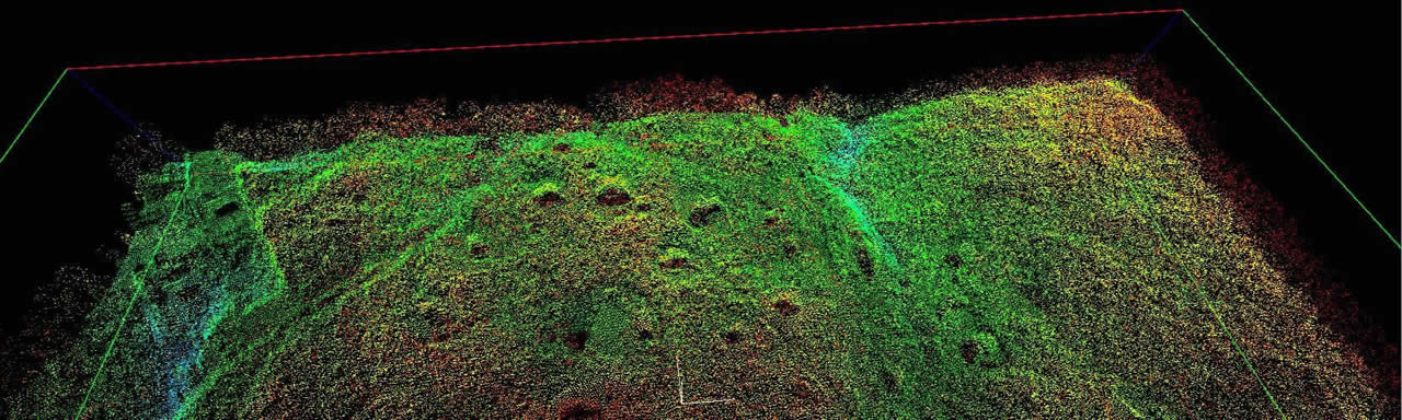
LiDAR stands for "Light, Detection And Ranging system". LiDAR uses a method of detecting distant objects and determining their position, velocity, or other characteristics by analysis of pulsed laser light reflected from their surfaces. LiDAR operates on the same principles as radar and sonar.
For purposes of preparing topographic terrain models LiDAR data is gathered by an airborne sensor device. By positioning the laser range finding sensors with the use of 1 second on board GPS observations and 100hz inertial measurement position corrections, LiDAR instruments are able to collect highly detailed elevation data of the ground, man-made structures and vegetation. Each laser pulse that is recorded is assigned an x,y,z coordinate that allows for accurate 3D mapping of the surface being scanned. The raw LiDAR data is processed to extract bare earth points which are then used to create the terrain model and topographic contours on the survey map.