
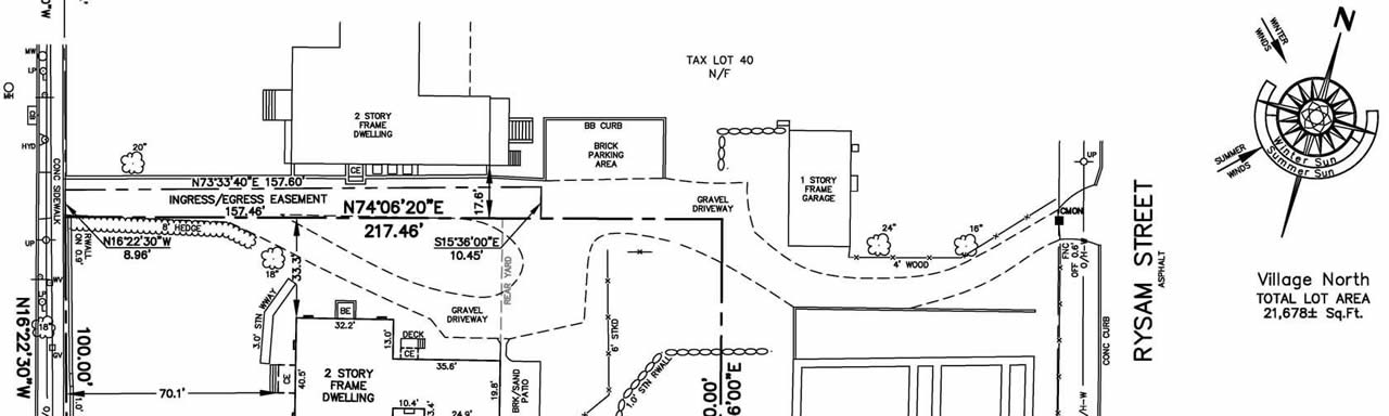
Title Survey & Boundary Surveys
When you purchase a home you are buying the rights of the land, physical improvements on the land, the airspace above, and, in most cases, the mineral rights of the earth below. A Title Survey map will depict the location of visible and identifiable improvements such as dwellings, garages, driveways, sheds and pools, and will also show evidence of possession such as fences, hedges and tree lines.
In most cases your attorney or possibly the real estate broker will order the survey after contracts are signed. You should consult with both your attorney and broker about ordering the survey.
The bearings and distances of the boundary lines of the property, as described in your deed (also known as metes and bounds), will be shown on the map of the survey and can be used by your attorney and title insurance underwriter to correct possible defects in old deed descriptions before recording your deed in the County records.
Encroachments by neighbors' improvements and visible evidence of possible unrecorded easements are also located during the course of the survey. Clearing and coverage regulations related to the Zoning Code of the Town or Village in which the property is located are shown in a Table of Areas. Any property corner markers found during the survey, such as concrete monuments or iron pipes, will be marked by the field crew with a wooden witness stake and ribbon.
A Boundary Survey is similar to a Title Survey and is usually conducted to mark out the property lines (boundary) of an unimproved parcel. A Boundary Survey can be used for title transaction purposes also.